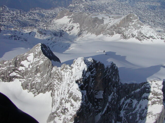
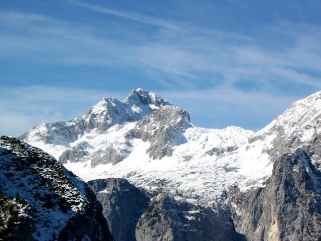
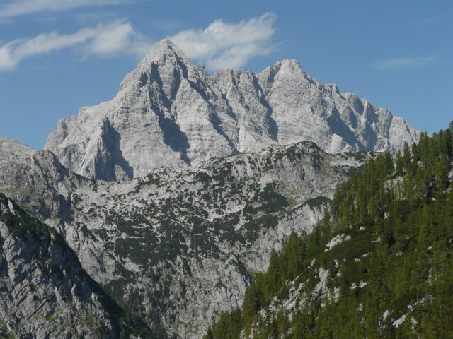
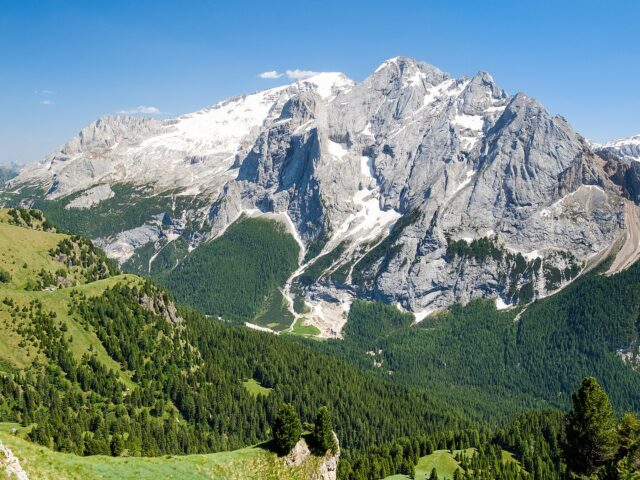
Zugspitze
Germany’s highest mountain, in the Wetterstein range
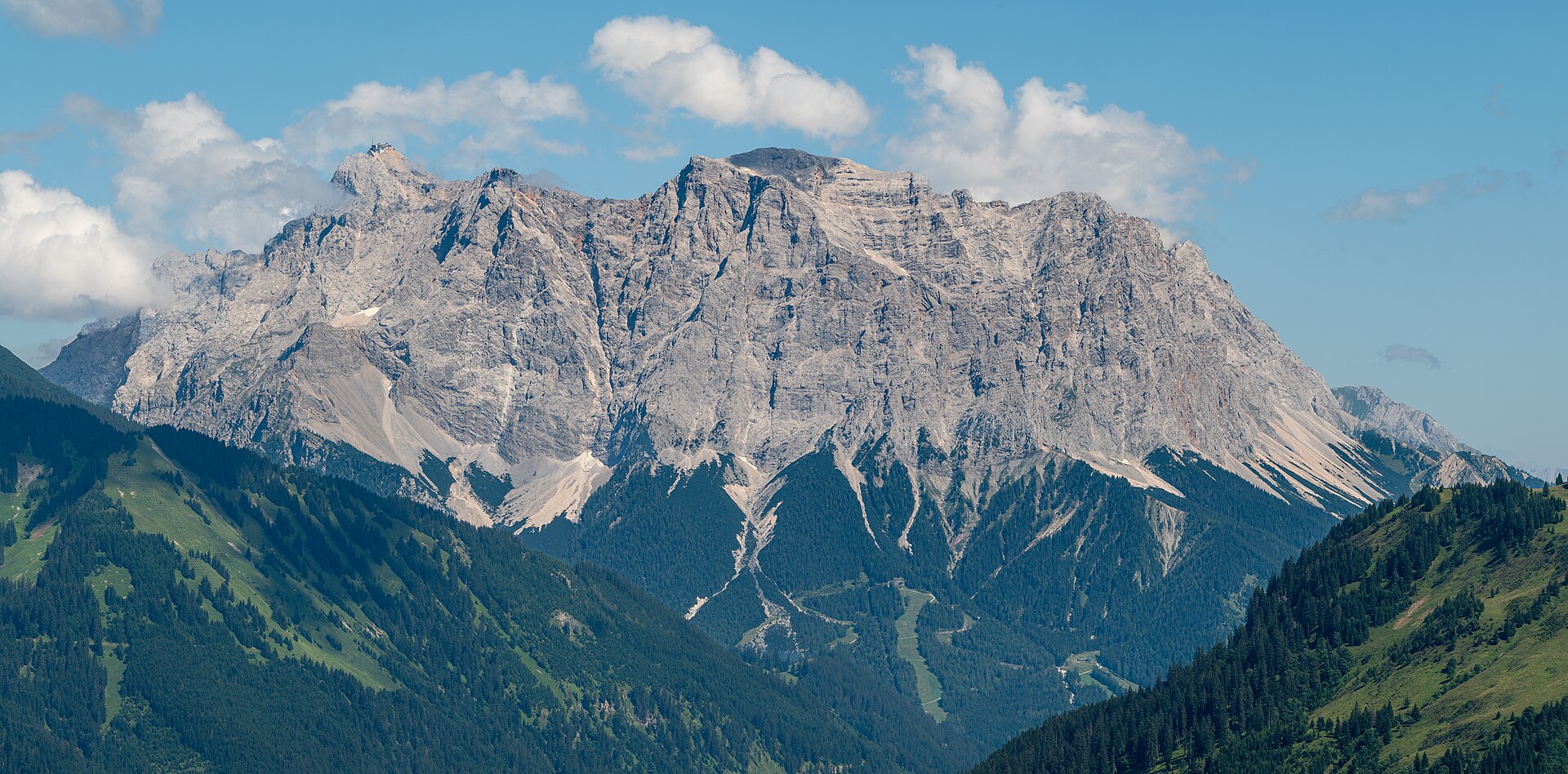
Foto: Tuxyso / Wikimedia Commons (CC BY-SA 4.0)
Address
Wetterstein range, Eastern Alps; Bavaria (DE) / Tyrol (AT) border
GPS
47.4212, 10.9863
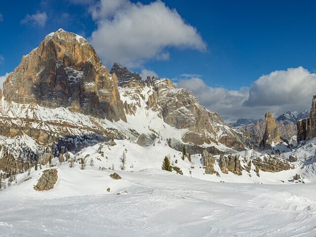
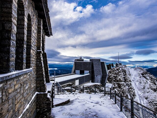
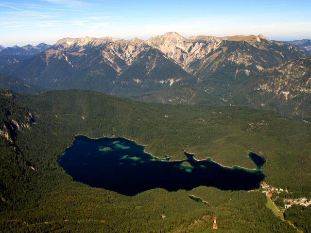
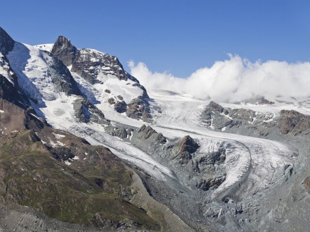
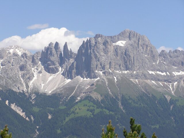
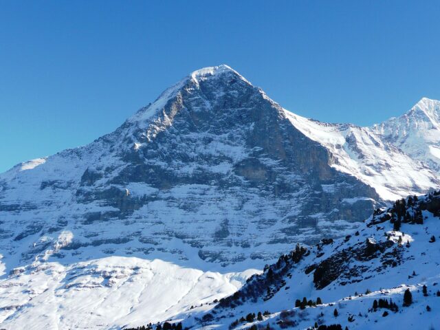
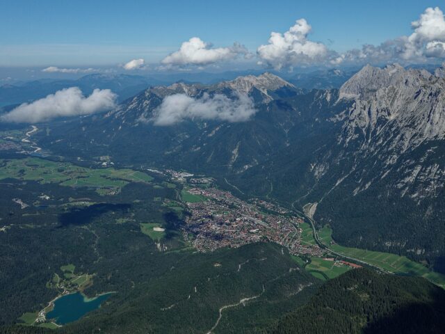
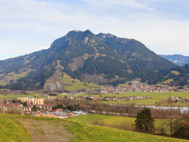
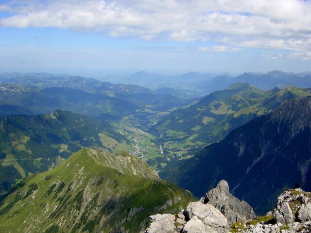
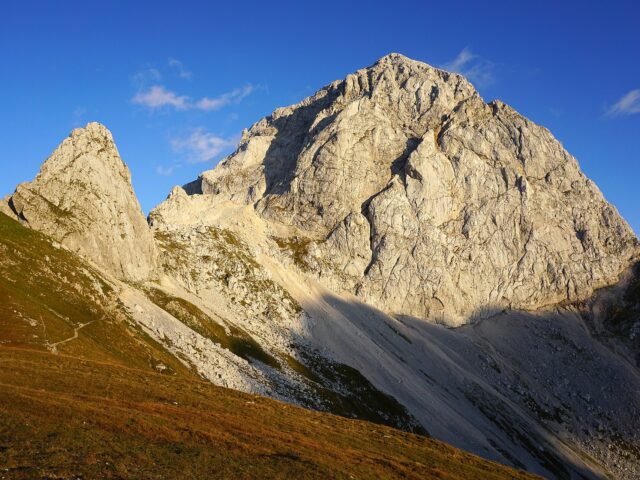
At 2,962 m the Zugspitze is Germany’s highest mountain, in the Wetterstein range on the German-Austrian border. It holds Germany’s last glaciers, the Höllental and Northern Schneeferner. The summit is reachable by three mountain railways and offers a panorama over four countries.
The right gear for Peaks & MountainsOur honest tips and tests for it.
Activities
- Ascent by cable car or rack railway
- Viewing platform & summit cross
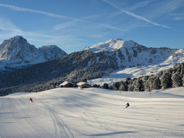
- Zugspitzplatt glacier ski area (winter)
- High tour through the Höllental or Reintal
- Via ferratas (Höllental, Stopselzieher)
- Panorama hiking at the Eibsee
Highlights
- Germany’s highest point with a golden summit cross
- Panoramic view over 400+ peaks in four countries
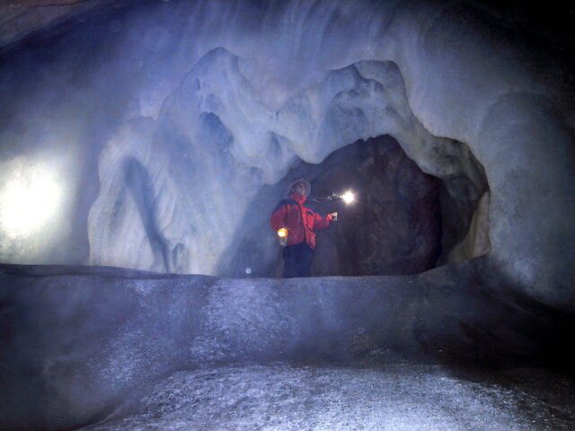
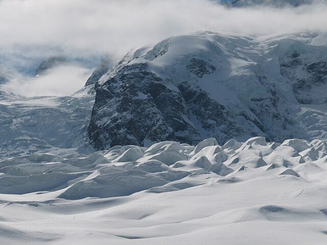
- Last German glaciers
- Zugspitzplatt glacier ski area
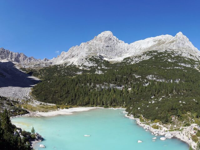
- The turquoise Eibsee as the cable-car starting point
Routes & ascents
| Route | Type | Difficulty | Duration |
|---|---|---|---|
| Mountain railway from Eibsee/Garmisch Comfortable ascent to the summit by cable car or rack railway plus glacier railway. |
Mountain railway | none (tourist) | approx. 10 min (cable car) / approx. 1 h (rack railway) |
| Reintal ascent The longest but technically easiest ascent, via the Reintal and Knorrhütte. |
High-alpine tour | demanding mountain tour (T4) | approx. 8–10 h, usually 2 days |
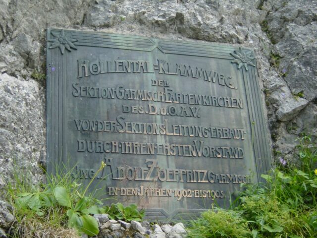
| Höllental-Klettersteig Demanding, through the Höllental gorge with a ladder, an ice field on the Höllentalferner and secured rock. |
Via ferrata | difficult (B/C–D), glacier crossing | approx. 8–10 h |
Good to know
| Elevation | 2,962 m a.s.l. |
| Mountain range | Wetterstein Mountains (Eastern Alps) |
| First ascent | 27 August 1820 by Josef Naus with Johann Georg Tauschl and survey assistants |
| Special feature | Germany’s highest mountain; the last German glaciers; a D/A border summit with a glacier ski area on the Zugspitzplatt |
Practical info
Getting there: Bavarian Zugspitze Railway from Garmisch-Partenkirchen or cable car from Eibsee; on the Austrian side the Tyrolean Zugspitze Railway from Ehrwald.
Best time: Mountain railway year-round; high tours July–September; glacier skiing late autumn to spring.
Cost: Mountain-railway day ticket (up/down) in the high double-digit euro range (please verify)
Safety: High tours via the Höllental require glacier equipment and experience; mind weather changes/rockfall; the plain ascent needs no equipment.
Background & History
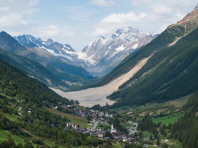
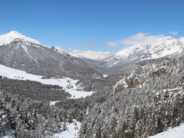
At 2,962 metres, the Zugspitze is the highest mountain in Germany and at the same time a piece of shared history, for its summit ridge forms the border between Bavaria and Tyrol. Although the Bavarian mountains do not rise particularly high compared with the Western Alps, the Zugspitze impresses because it seems to thrust up abruptly out of the flat foreland. Like the surrounding Wetterstein range, it consists of mighty limestone, the petrified legacy of primeval seas, which over the course of earth history was raised up and marked by ice and weather.
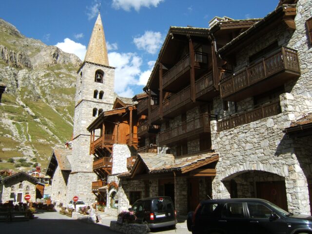
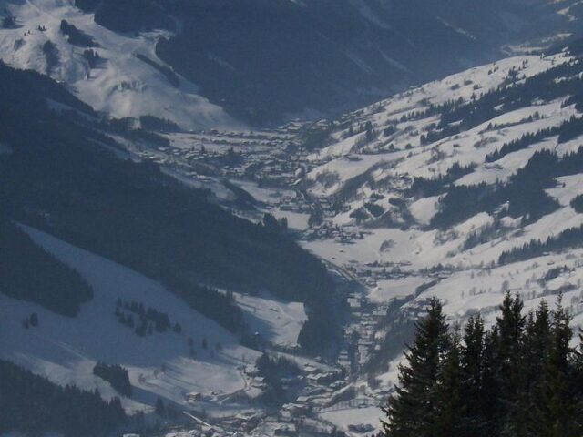
At the foot of the mountain lies Garmisch-Partenkirchen, which hosted the Olympic Winter Games in 1936, an event that was abused for propaganda by the rulers of the time and is today examined critically. The ascent of the Zugspitze, by contrast, has a quite different tradition: as early as the 19th century the first ascent succeeded, and later bold rack railways and cableways opened up the summit for many. On its flanks lies, with the Höllental, one of the most famous ascents in the Eastern Alps, and the small Schneeferner recalls, as one of the last German glaciers, the icy past of this peak. From the summit plateau the view reaches in clear weather across four countries far into the Central Alps, a panorama that makes the Zugspitze the most sought-after viewing mountain in Germany.
So your trip runs smoothly, our honest recommendations for this spot:
Activities here
More in the Bavarian Alps region
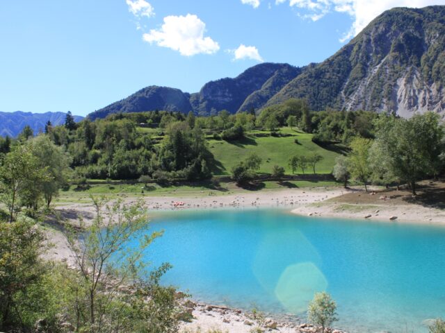
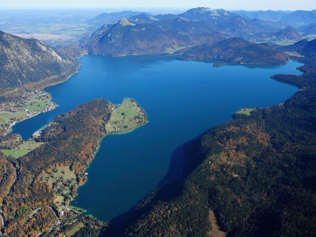
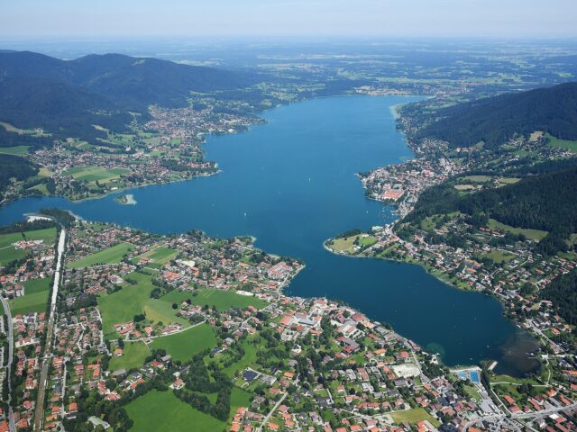
Walchensee · Tegernsee · Chiemsee & Herreninsel · Kampenwand