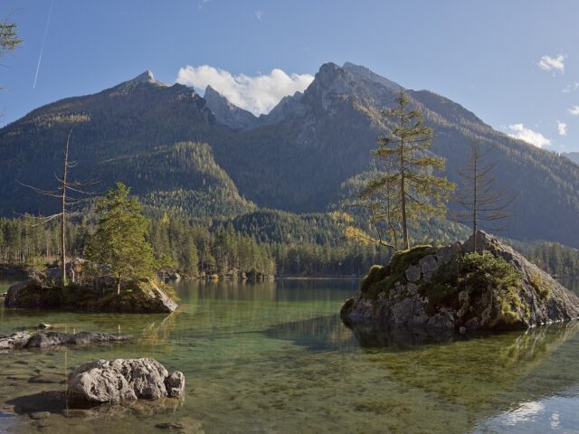
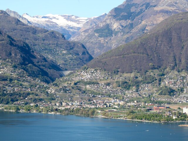
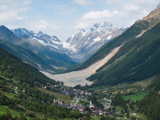
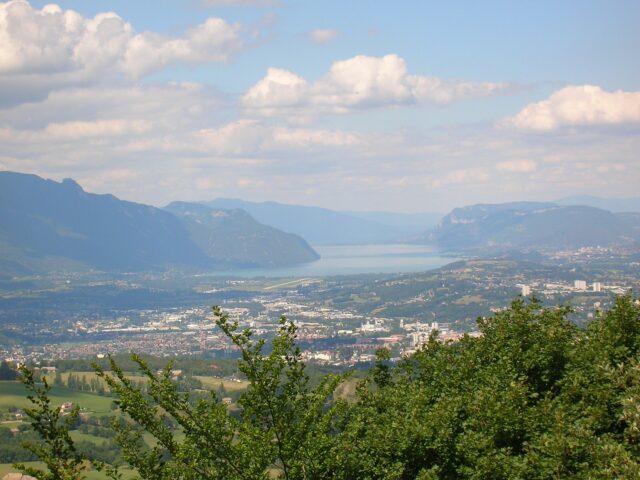
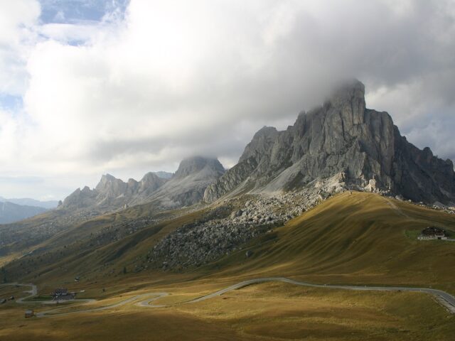
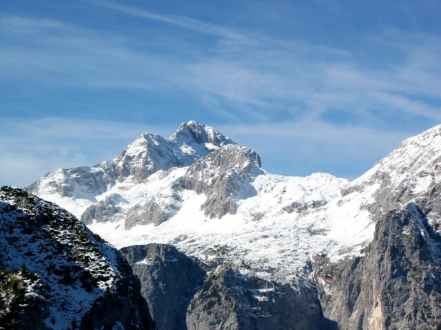
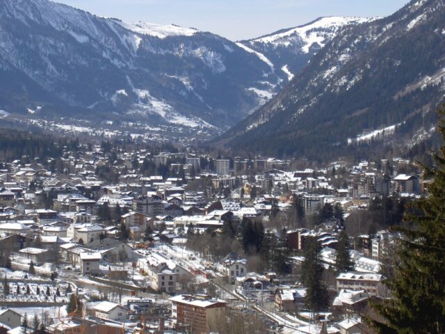
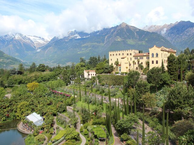
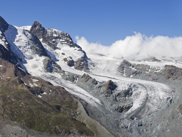
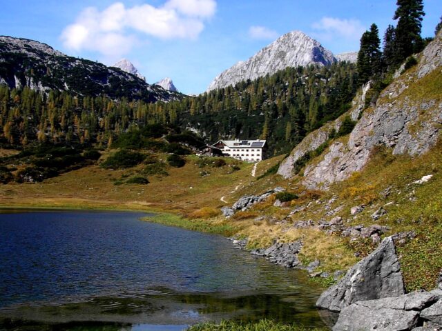
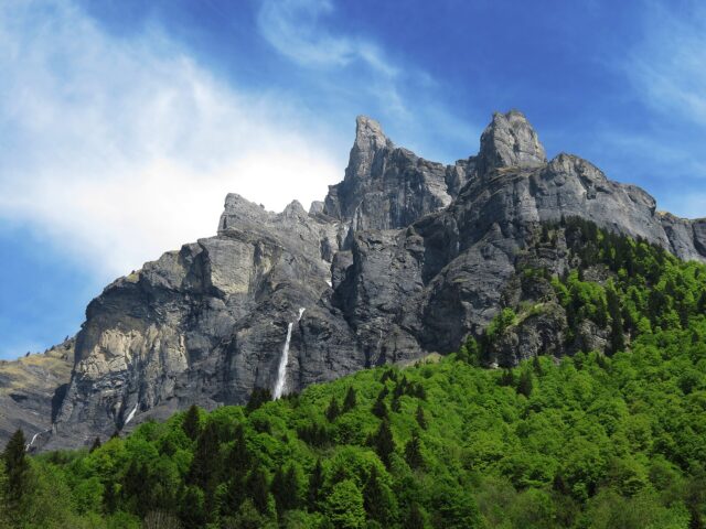
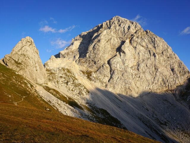
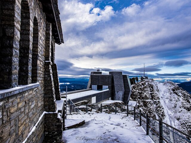
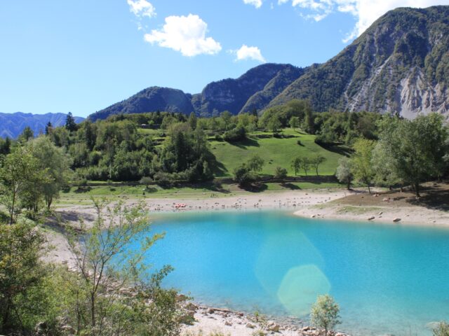
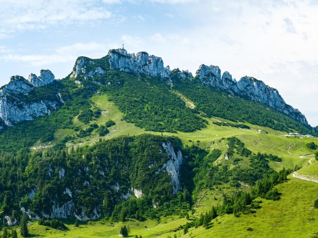
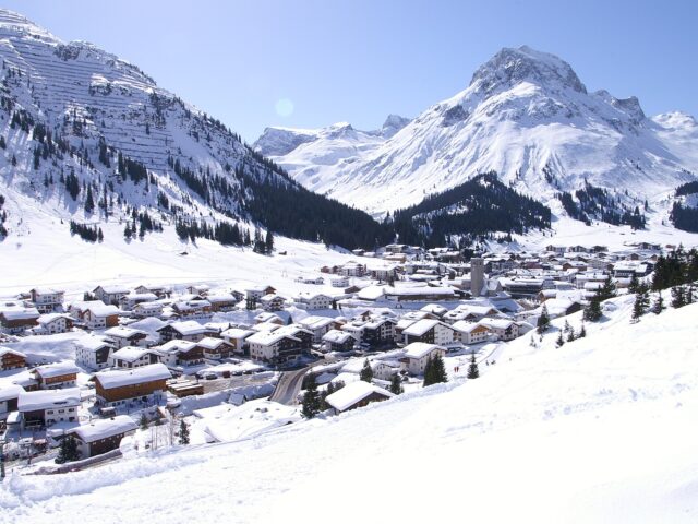
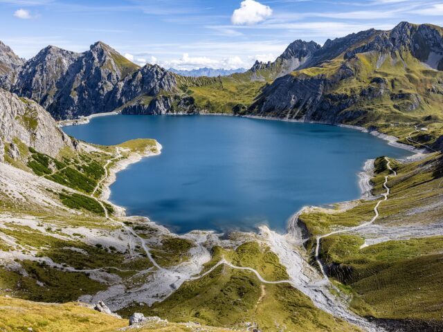
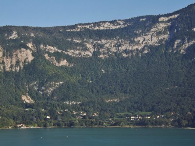
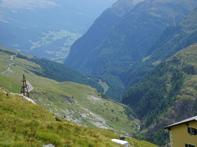
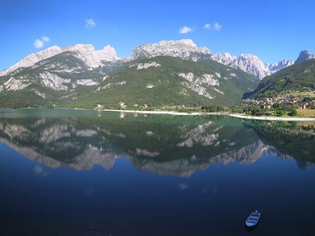
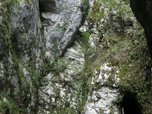
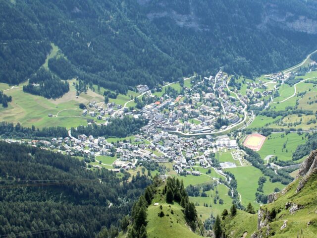
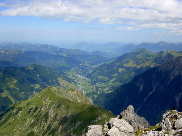
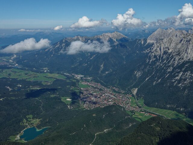
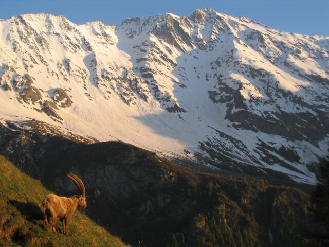
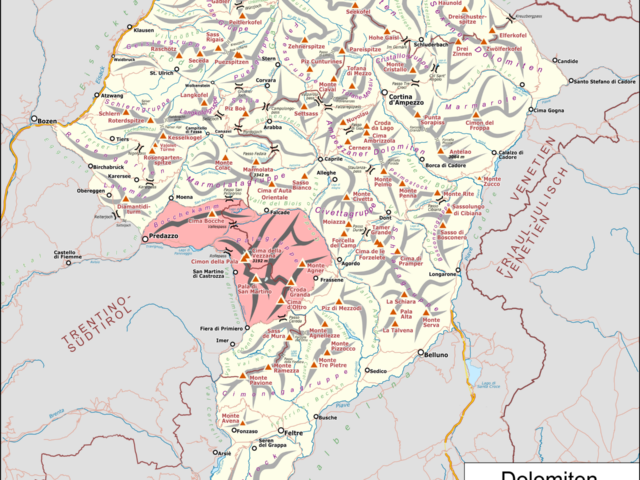
Montafon
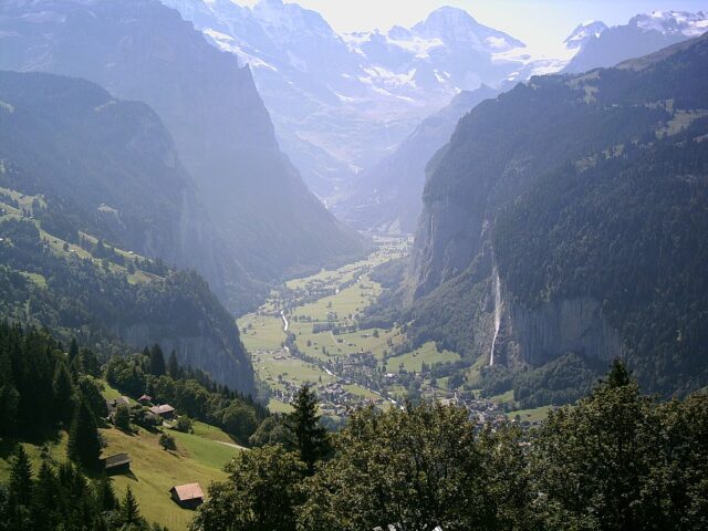
Valley between Silvretta and Rätikon
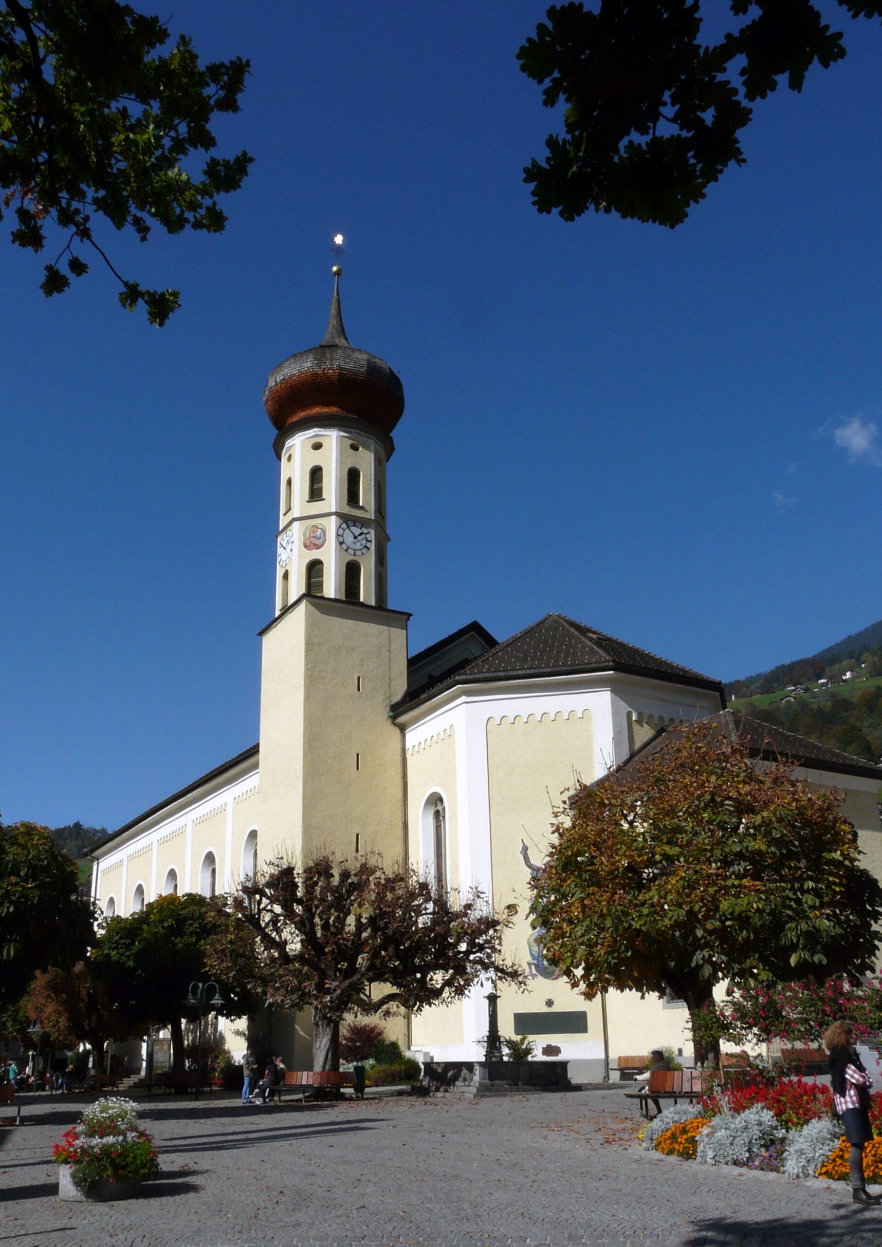
Photo: Frank C. Müller / Wikimedia Commons (CC BY-SA 3.0)
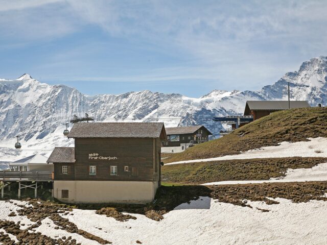
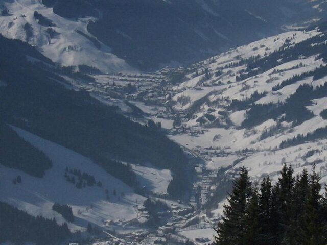
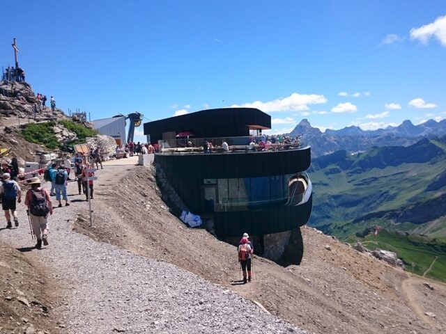
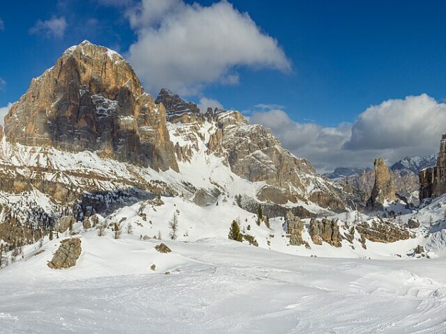
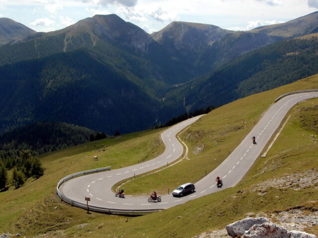
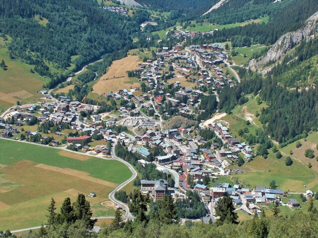
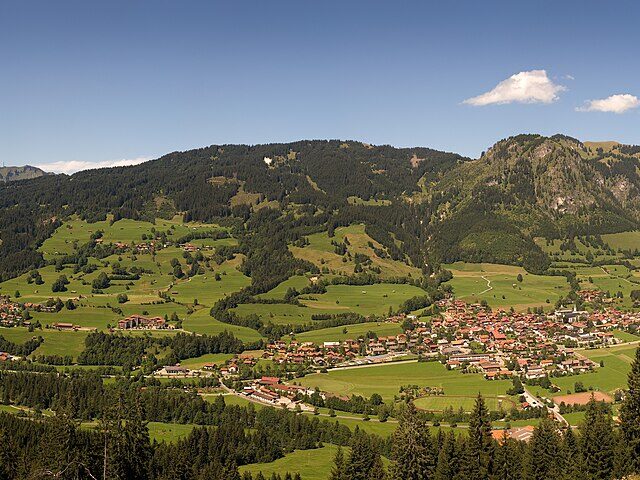
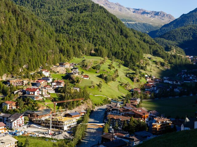
The Montafon in the south of Vorarlberg lies nestled between the Silvretta, Rätikon and Verwall and combines several ski areas with a dense network of trails. The main town Schruns was a favourite haunt of Ernest Hemingway. Over the valley the Silvretta High Alpine Road leads to the Bielerhöhe.
Highlights
- Several ski areas in one valley
- Hiking in the Silvretta, Rätikon and Verwall
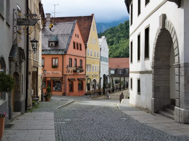
- Schruns (Hemingway town)
- Access to the Silvretta High Alpine Road
Good to know
| Location | Vorarlberg |
| Mountain range | Silvretta, Rätikon, Verwall |
| Main town | Schruns |
| Nearby | Silvretta High Alpine Road |
Practical info
Getting there: Train to Bludenz, then with the Montafon railway.
Best time: Skiing December to April; hiking June to October.
Cost: Mountain railways payable (please verify).
Safety: In winter mind the avalanche situation.
Tips:
- The Montafon mountain-railways card covers several areas
Background & History
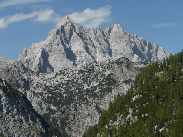
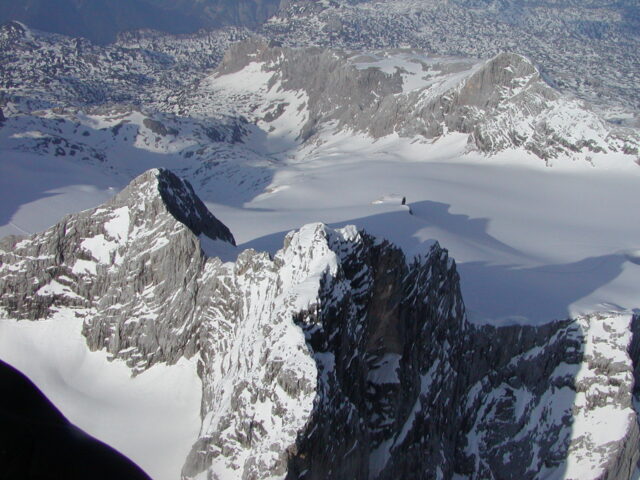
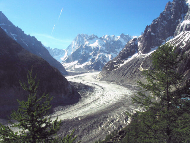
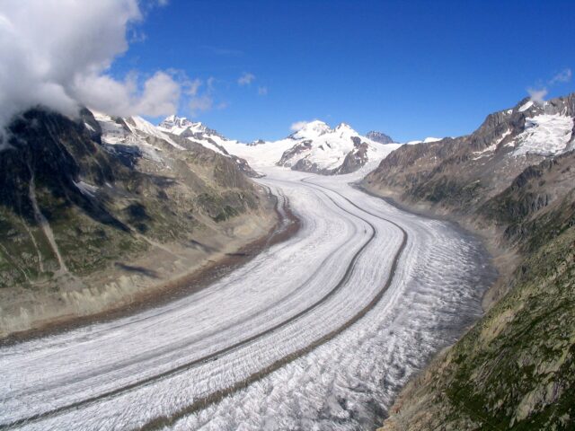
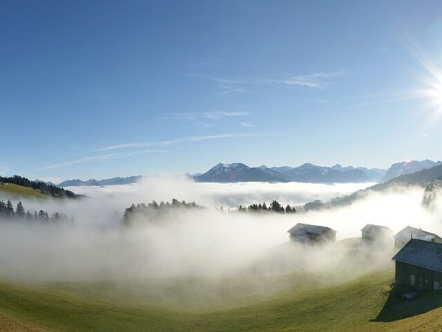
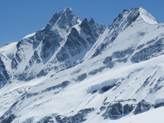
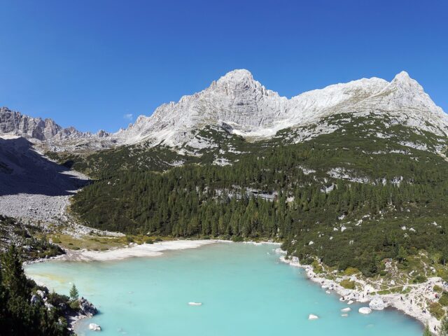
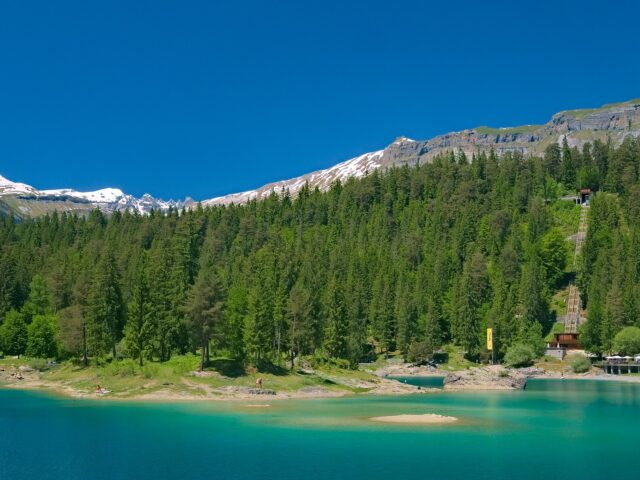
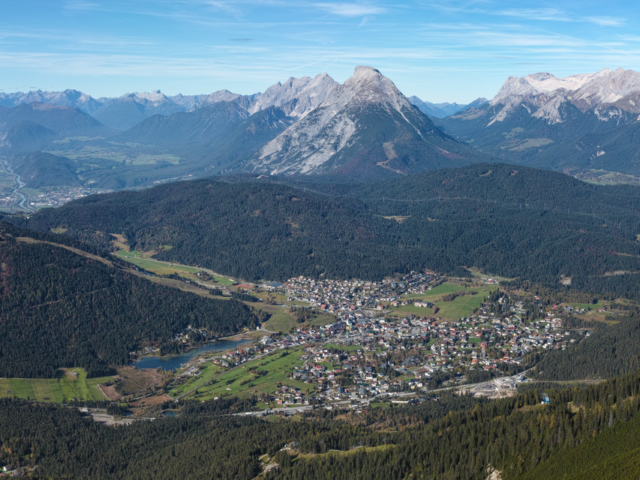
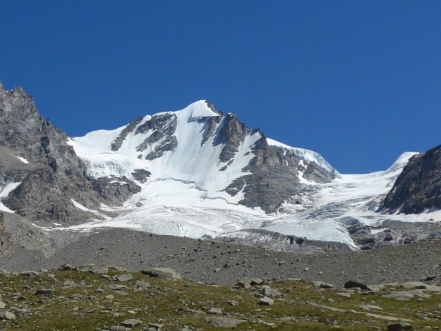
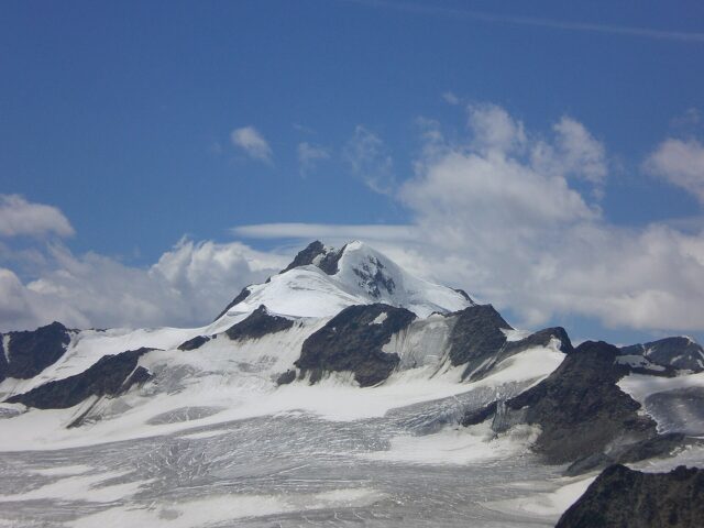
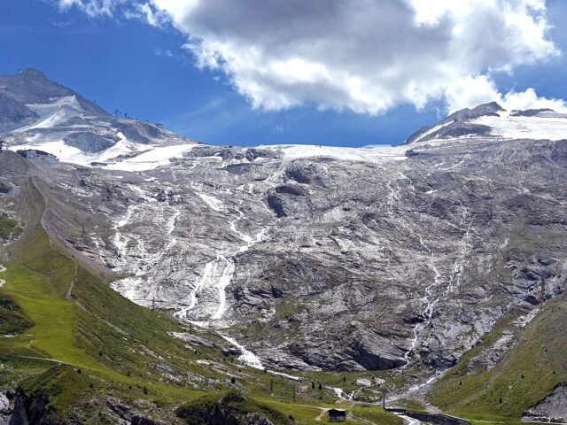
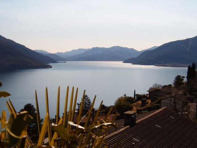
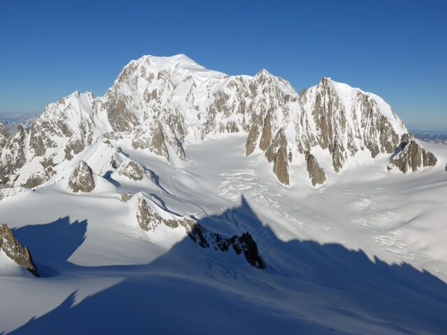
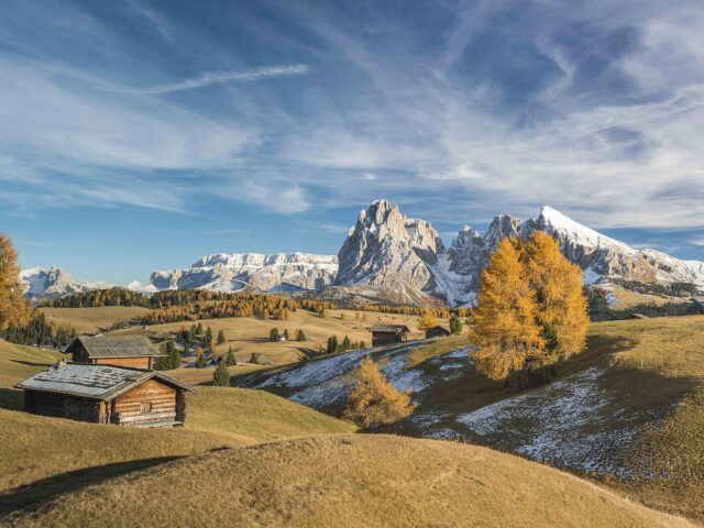
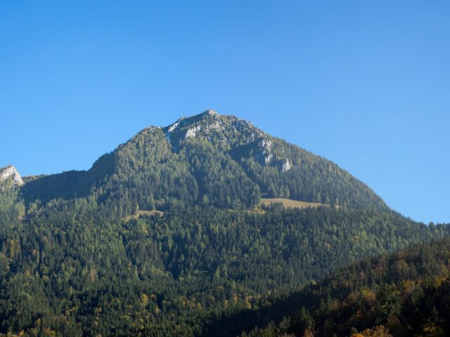
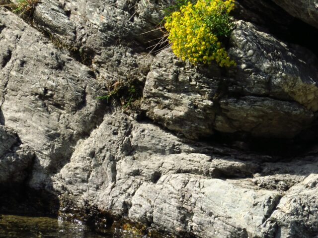
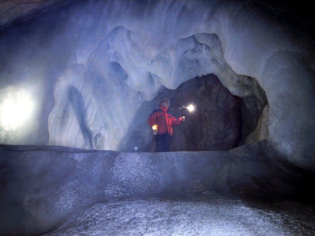
The Montafon is the southernmost valley of Vorarlberg, a barely forty-kilometre-long valley corridor through which the Ill flows and which is framed by three mountain groups: Rätikon, Verwall and the glaciated Silvretta at the head of the valley. The peculiar name probably goes back to a Rhaeto-Romanic root meaning something like “mountainous land”, a hint of the old Ladin linguistic layer that, as in many alpine valleys, was alive here long before Alemannic. Over the passes of the Silvretta a web of mule tracks, smugglers’ paths and alpine droveways has always extended.
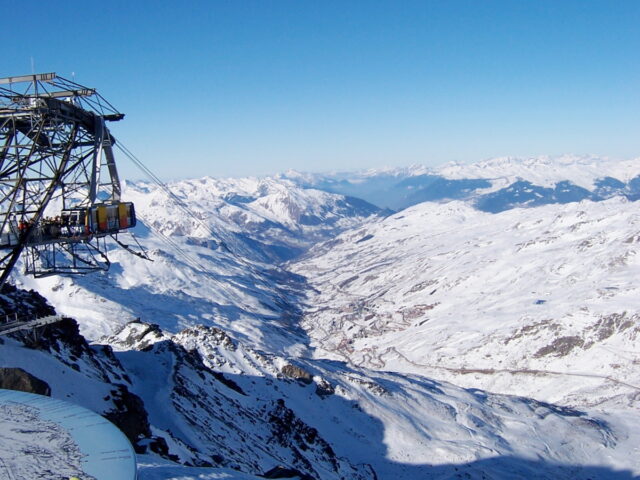
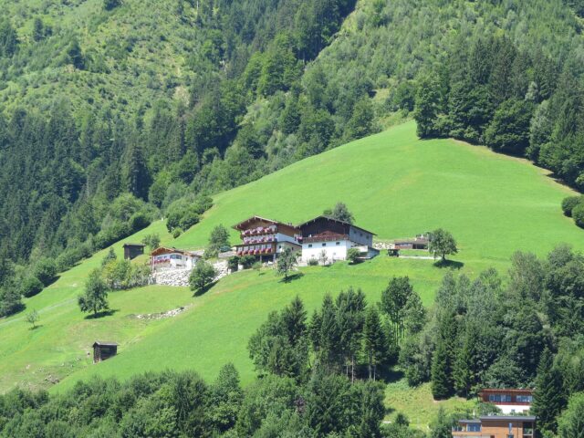
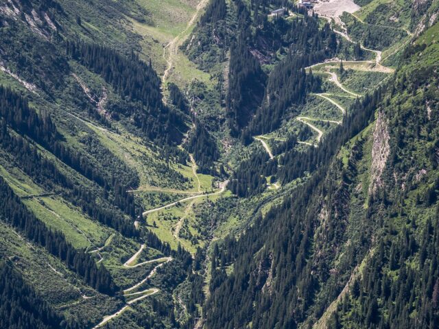
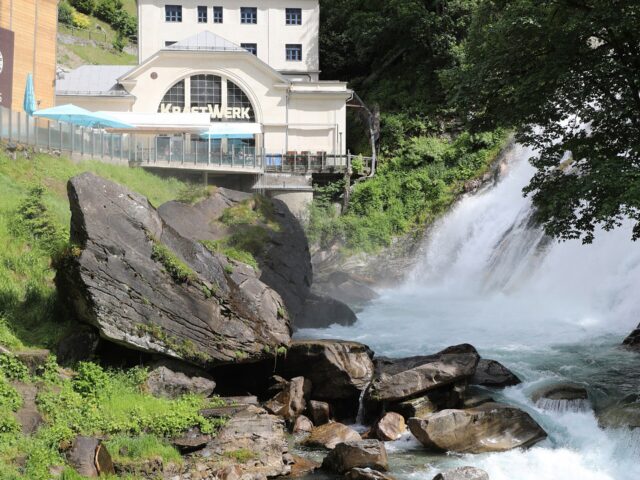
For centuries the valley was shaped by an independent peasant culture with Maisäße, those mid-level farms between village and high alpine pasture that made three-tier farming possible. In the 20th century the power of water was added: with the building of the reservoirs and power stations of the Vorarlberg Illwerke, the Montafon became one of the most important energy landscapes of the Eastern Alps. The Silvretta High Alpine Road, which winds in hairpin bends up to the Bielerhöhe, finally opened up this high-alpine world to travellers as well and turned the former smugglers’ path into a famous panoramic road.
To make your trip run smoothly , our guides and gear tips for this destination: