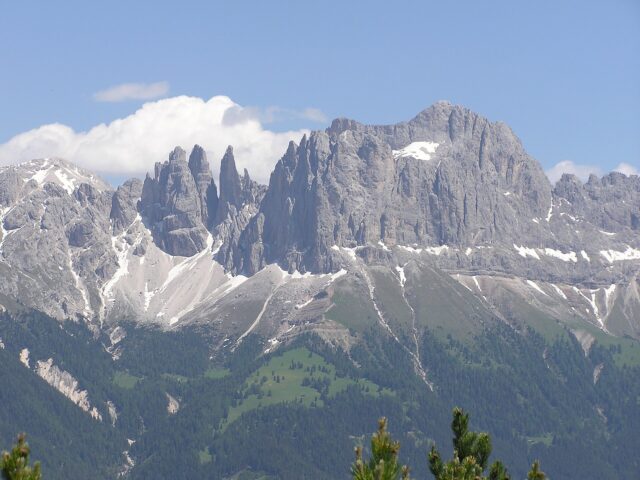
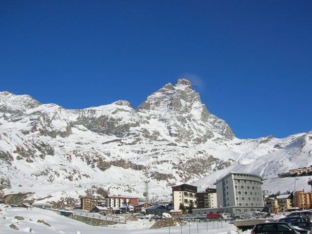
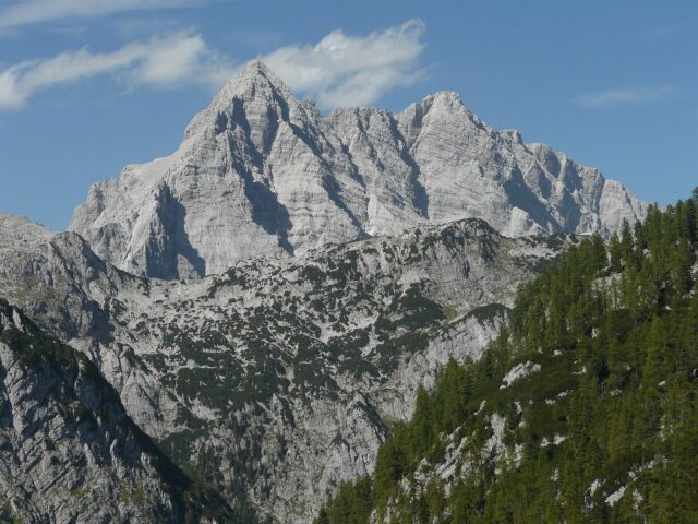
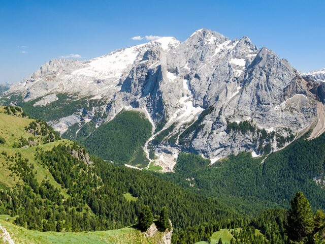
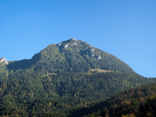
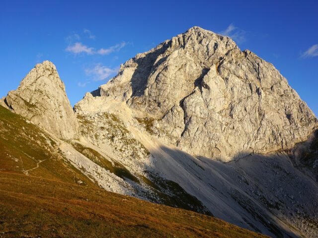
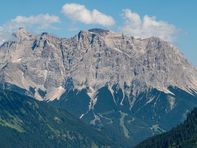
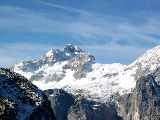
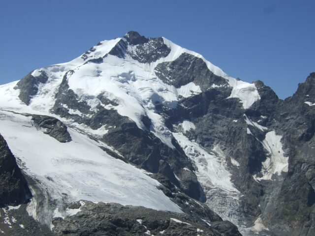
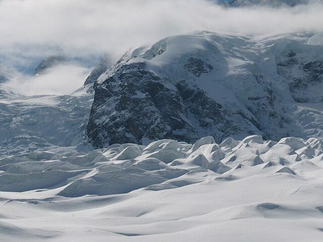
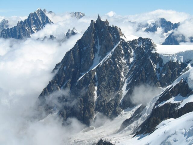
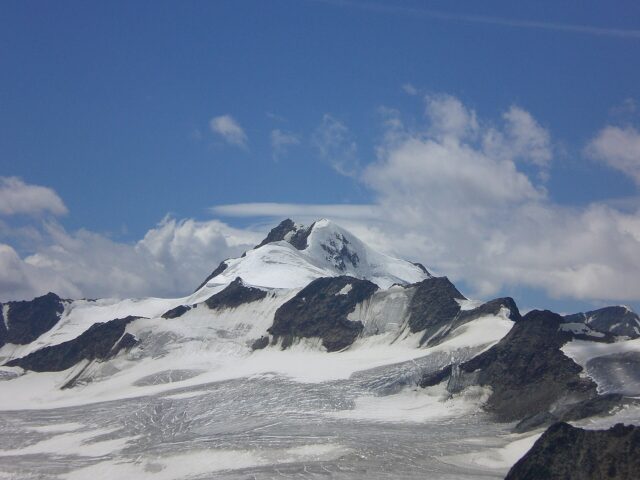
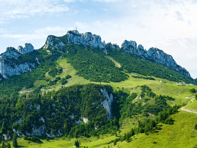
Großglockner
At 3,798 m the highest mountain in Austria, in the Hohe Tauern
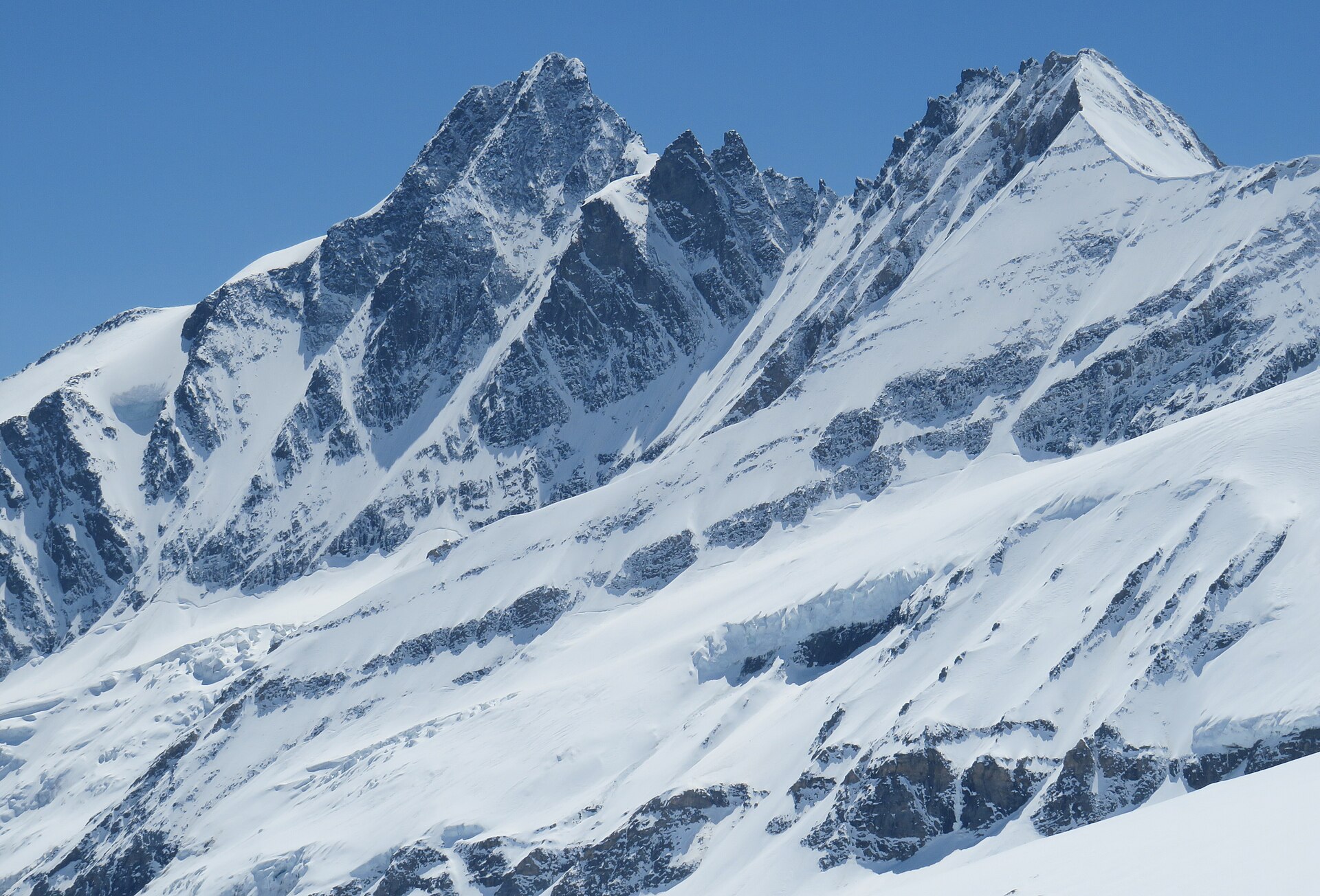
Photo: Stefan.straub / Wikimedia Commons (CC BY 4.0)
Address
Glockner group, Hohe Tauern, Austrian Central Alps
GPS
47.0745, 12.6939
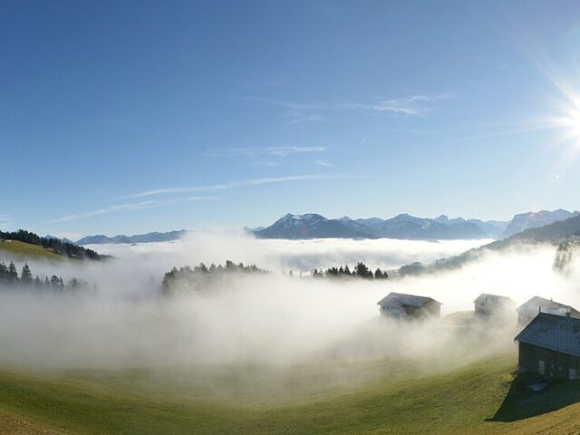
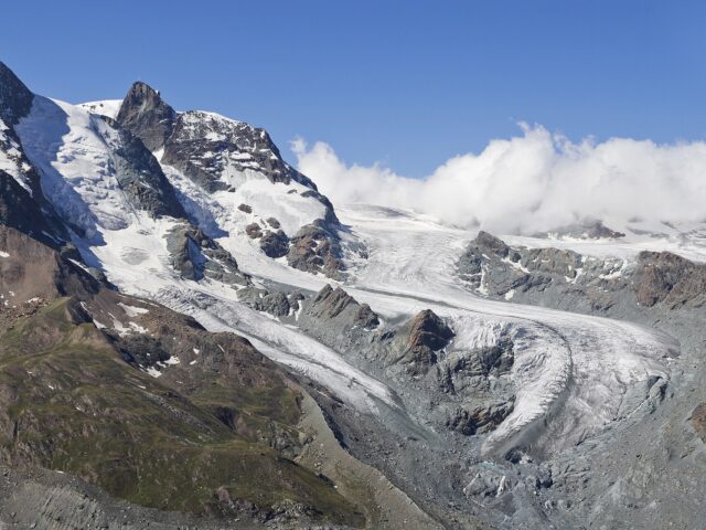
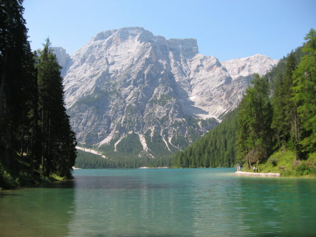
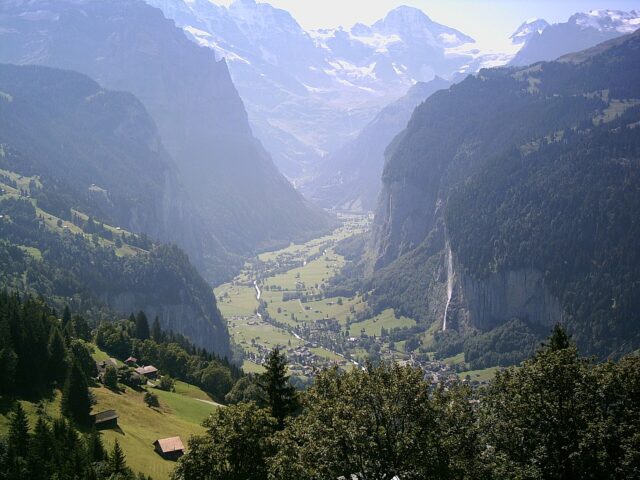
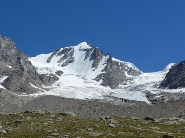
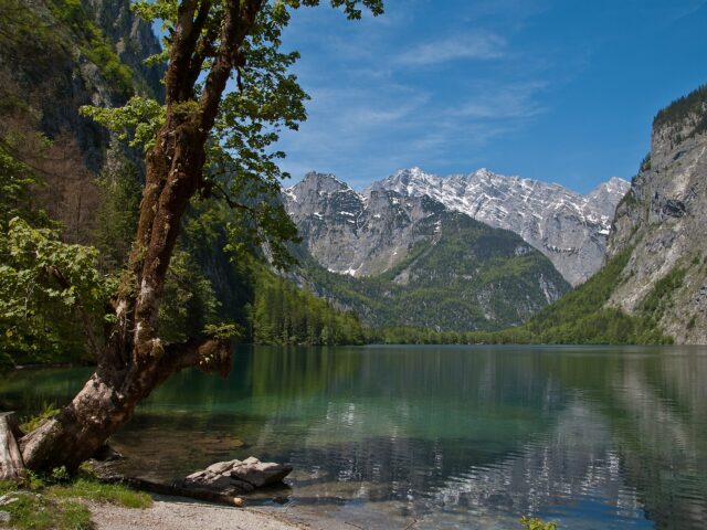
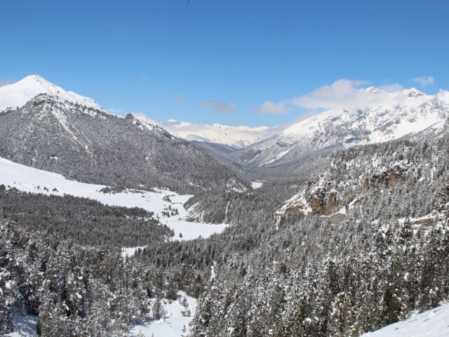
At 3,798 m the Großglockner is Austria's highest mountain and the defining pyramid of the Glockner group in the Hohe Tauern, on the Tyrol/Carinthia border in the Hohe Tauern National Park. The Großglockner High Alpine Road leads to the Franz-Josefs-Höhe with views of the summit and the Pasterze glacier.
Activities
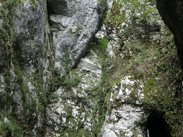
- High-alpine tour to the summit
- Hiking in the Hohe Tauern National Park
- Glacier walk (Pasterze)
- Panoramic road (high-alpine road)
- Mountaineering with a guide
Highlights
- Austria's highest peak (3,798 m)
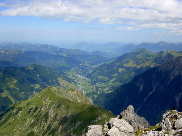
- Franz-Josefs-Höhe viewing terrace
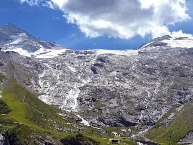
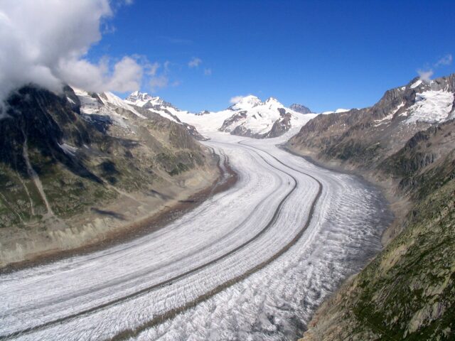
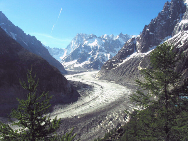
- Pasterze, the largest glacier in the Eastern Alps
- Hohe Tauern National Park
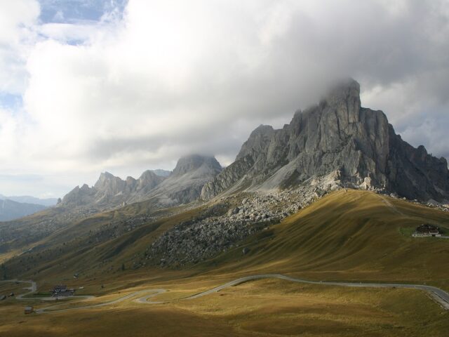
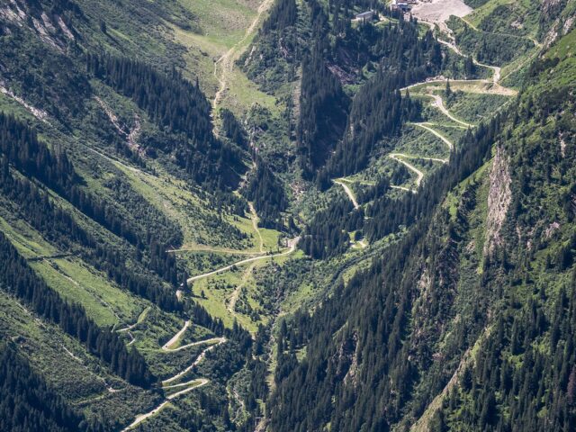
- High-alpine road with 36 hairpins
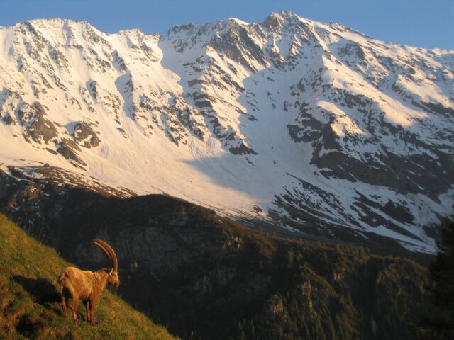
- Marmots, ibex, bearded vultures
Routes & ascents
| Route | Type | Difficulty | Duration |
|---|---|---|---|
| Normal route via Adlersruhe Classic ascent via the Erzherzog-Johann-Hütte/Adlersruhe (3,454 m); glacier equipment and a mountain guide recommended. |
High-alpine tour | high-alpine, rock/ice, exposed summit ridge | 2 days |
| High-alpine road to the Franz-Josefs-Höhe Toll road with 36 hairpins and a viewing terrace overlooking the Großglockner and Pasterze. |
Panoramic road | easy (by car) | Half/full day |
| Gamsgrubenweg Scenic high trail along the glacier world at the Franz-Josefs-Höhe. |
Hike | easy to moderate | 1.5–2.5 h |
Good to know
| Elevation | 3,798 m (highest mountain in Austria) |
| Mountain range | Glockner group, Hohe Tauern |
| First ascent | 28 July 1800 (Salm expedition), Mathias Hautzendorfer with four Heiligenblut guides |
| Special feature | Austria's highest mountain; Hohe Tauern National Park; the Großglockner High Alpine Road to the Franz-Josefs-Höhe |
Practical info
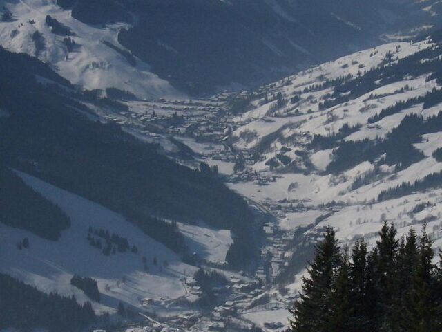
Getting there: Via the Großglockner High Alpine Road from Bruck (Salzburger Land) or Heiligenblut (Carinthia); nearest stations Zell am See and Lienz.
Best time: High tour July–September; high-alpine road approx. May to October/early November (weather-dependent).
Cost: High-alpine road car day ticket approx. 42 € (please verify); guide/hut separate.
Safety: Summit only with high-tour experience or a mountain guide (glacier, exposed ridge); factor in the road's opening times.
Background & History
At around 3,798 metres, the Großglockner is the highest mountain in Austria, a slender, twin-peaked rocky tooth that rises far above the Hohe Tauern. Its name is first attested in its present form only after the first ascent in the year 1800 and derives from the bell, for the shape of the summit reminded people of a bell tower. This first ascent, prompted by an art-loving prince-bishop, falls in a time when the surveying and conquering of the peaks was an expression of a new, enlightened understanding of nature.
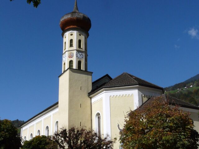
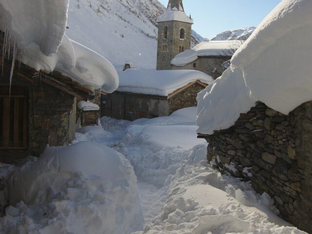
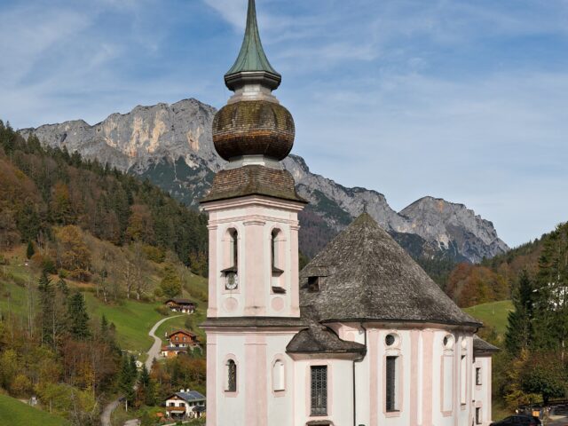
At the foot of the mountain stretches the Pasterze, the largest glacier in the Eastern Alps, whose ice stream has of course been retreating for generations and whose shrinking vividly illustrates how greatly the high mountains are changing. Around the summit spreads the Hohe Tauern National Park, in which ibex, chamois and the reintroduced bearded vulture have found a home. At the foot of the mountain lies the pilgrimage site of Heiligenblut, whose Gothic church with its slender tower has risen for centuries before the mighty backdrop of the peak and is one of the most photographed scenes of the Eastern Alps. The Großglockner is thus not only a landmark of altitude, but a symbol of the Austrian Alps, equally a place of early alpine pioneering deeds, of lived piety, and a refuge of high-alpine nature, which has found its lasting protection in the national park.
To make your trip run smoothly , our guides and gear tips for this destination: